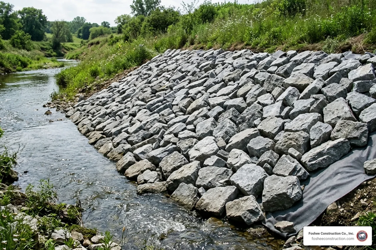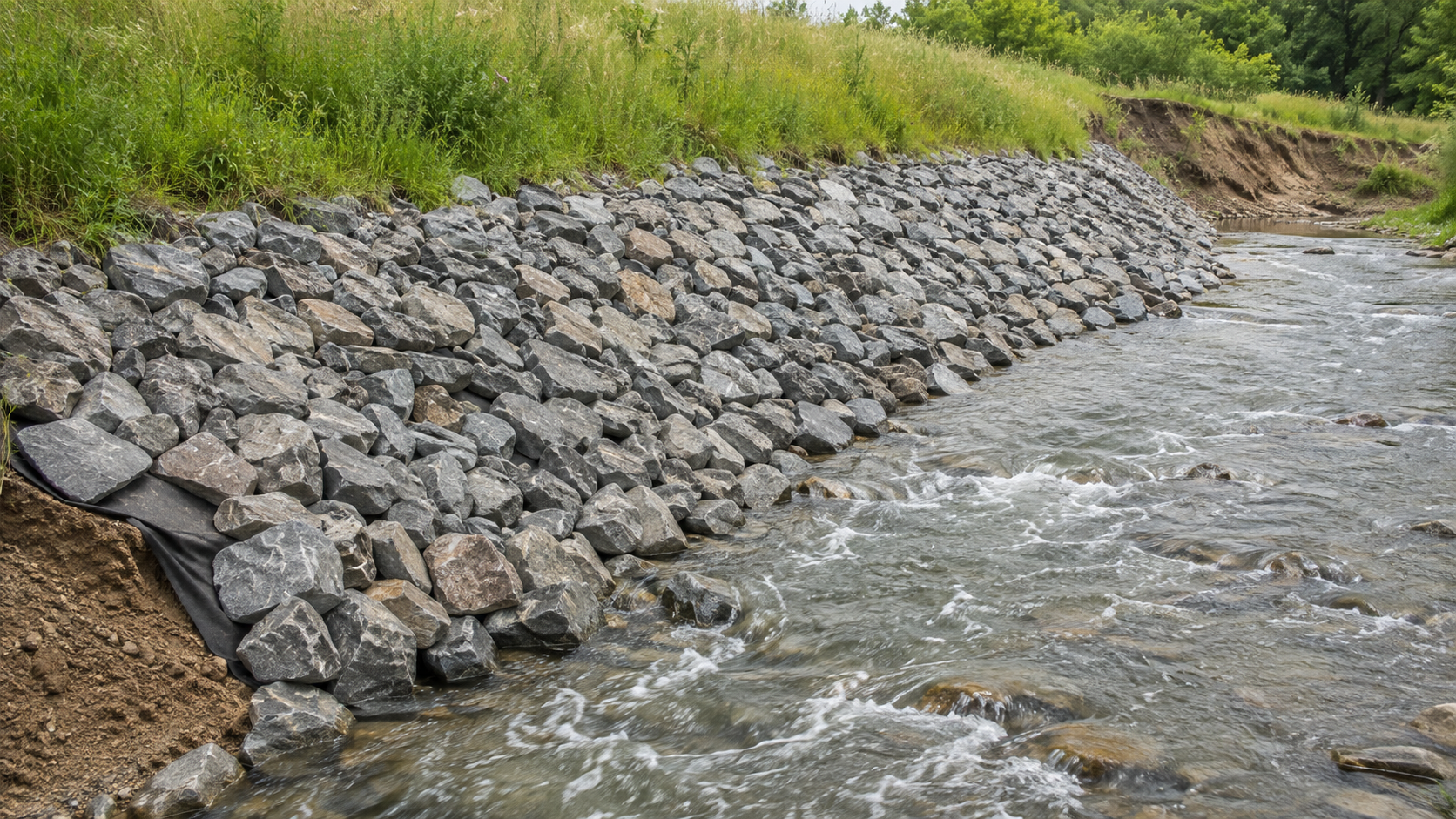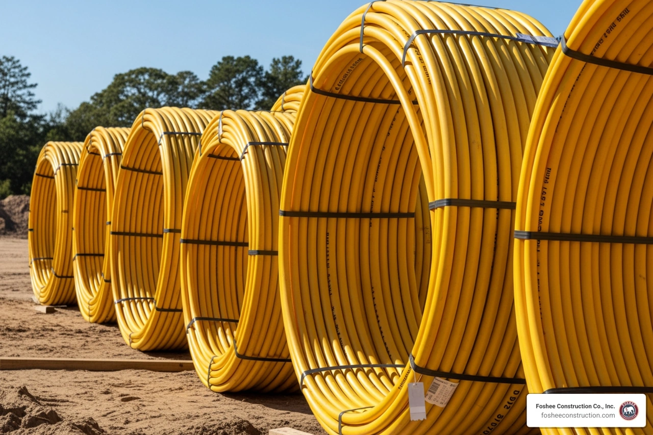
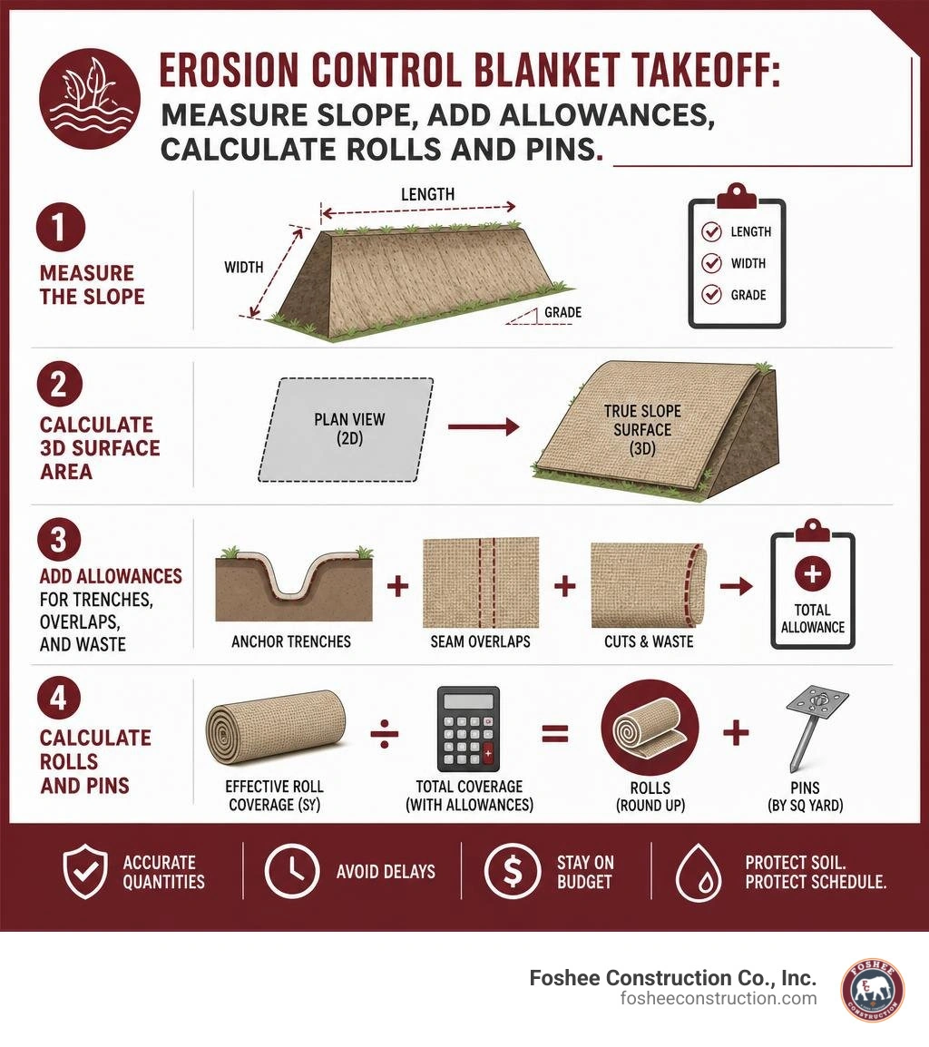
An erosion control blanket calculator should start with the true slope surface area, not the flat area shown on a plan. Then add material for anchor trenches, seam overlaps, cuts, and waste before dividing by each roll's effective coverage.
A reliable first takeoff follows four steps:
This matters because a flat, 2D takeoff can miss the extra material needed to cover a sloped surface. Once trenching, overlaps, and waste are included, a 3D estimate can be more than 23% higher than a simple plan-view quantity. That difference can mean a stalled installation, an emergency material order, and a budget that no longer matches the bid.
For Florida sitework, the calculator is more than a purchasing tool. It helps contractors plan roll quantities, pin counts, labor, and costs before exposed soil and stormwater create a schedule problem. It also makes assumptions visible, so the project team can confirm the right blanket type and anchoring pattern for the slope and expected runoff.
I am Don Larsen of Foshee Construction Co., Inc., where our work in Central Florida includes grading, site preparation, and erosion control for commercial and residential development. Our field experience helps us use an erosion control blanket calculator as part of a clear, practical material takeoff before crews break ground.
Similar topics to erosion control blanket calculator:
Estimating geosynthetic materials by eyeballing grading sheets is a fast track to under-ordering. When establishing stable surfaces on civil projects across Lake County and Central Florida, a mathematical model removes the guesswork from field procurement.
Field data shows that factoring in true three-dimensional geometry, anchor trenches, overlaps, and handling waste can increase required material by 23.1% compared to a basic 2D plan-view estimation. Omitting those variables leaves crews short on fabric right when the site must be stabilized before an incoming storm.
Comprehensive soil retention studies, such as the Landscape Performance Series soil loss estimation research, demonstrate that surface covers like rolled erosion control products reduce the Universal Soil Loss Equation (USLE) cover factor (C-factor) down to roughly 0.05. That is a 95% reduction in soil displacement compared to bare ground—provided the fabric covers the entire slope without unpinned gaps.
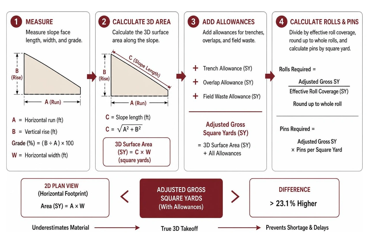
A civil grading plan displays a bird's-eye view. It shows horizontal length ($L$) and horizontal width ($W$), representing a flat 2D footprint. However, water flows down the actual sloped face—the hypotenuse ($C$) of the elevation triangle.
For a cut-and-fill slope with a horizontal run ($A$) and vertical rise ($B$), the true slope length is calculated using the Pythagorean theorem:
$$C = \sqrt{A^2 + B^2}$$
Consider a retention pond embankment with a 60-foot vertical drop built at a 2:1 horizontal-to-vertical ($2\text{H}:1\text{V}$) grade over a 500-foot run:
Relying solely on the flat 2D footprint creates an immediate deficit of 786 square yards before accounting for anchoring trenches or roll seams. Maintaining proper erosion prevention construction sites requires basing all procurement math on the actual 3D hypotenuse.
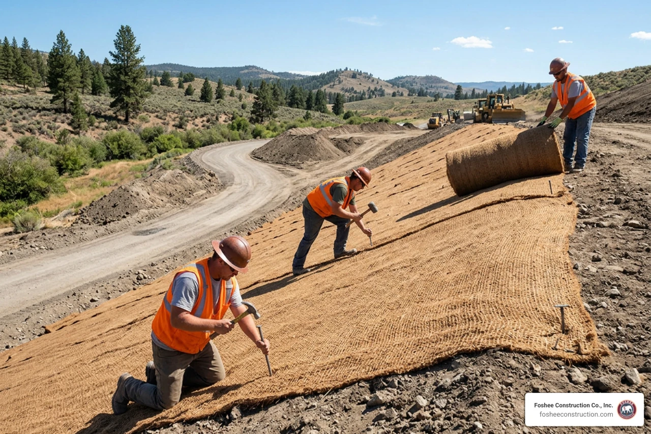
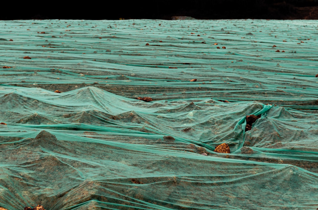
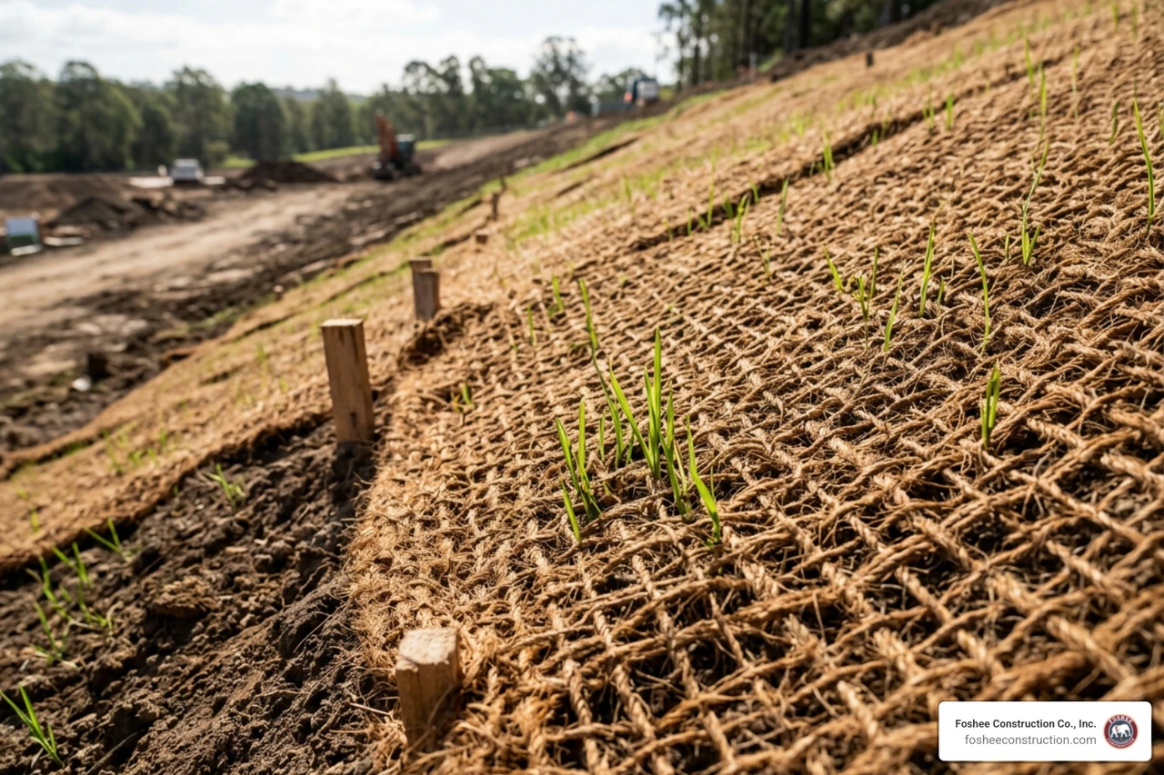
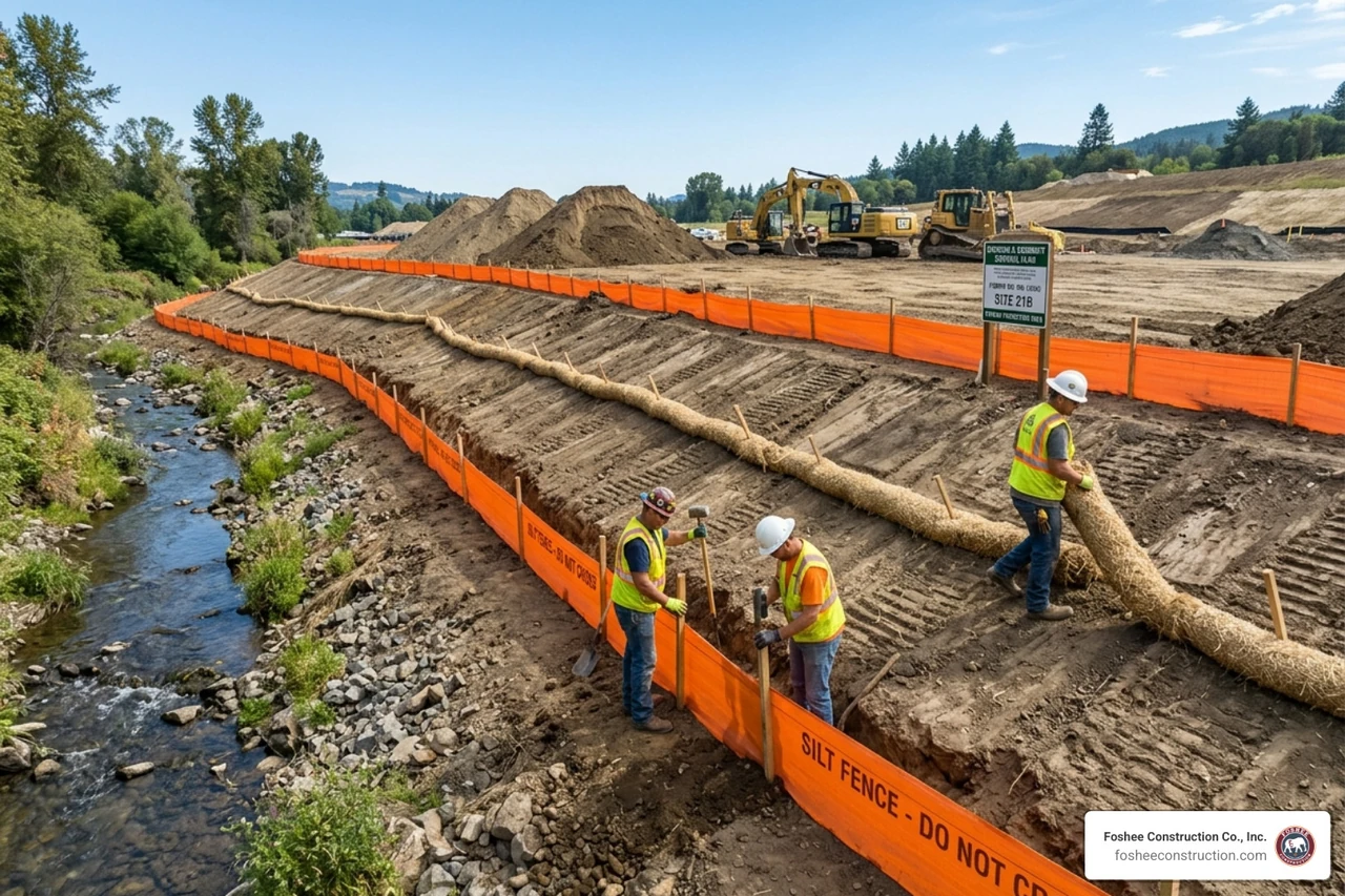
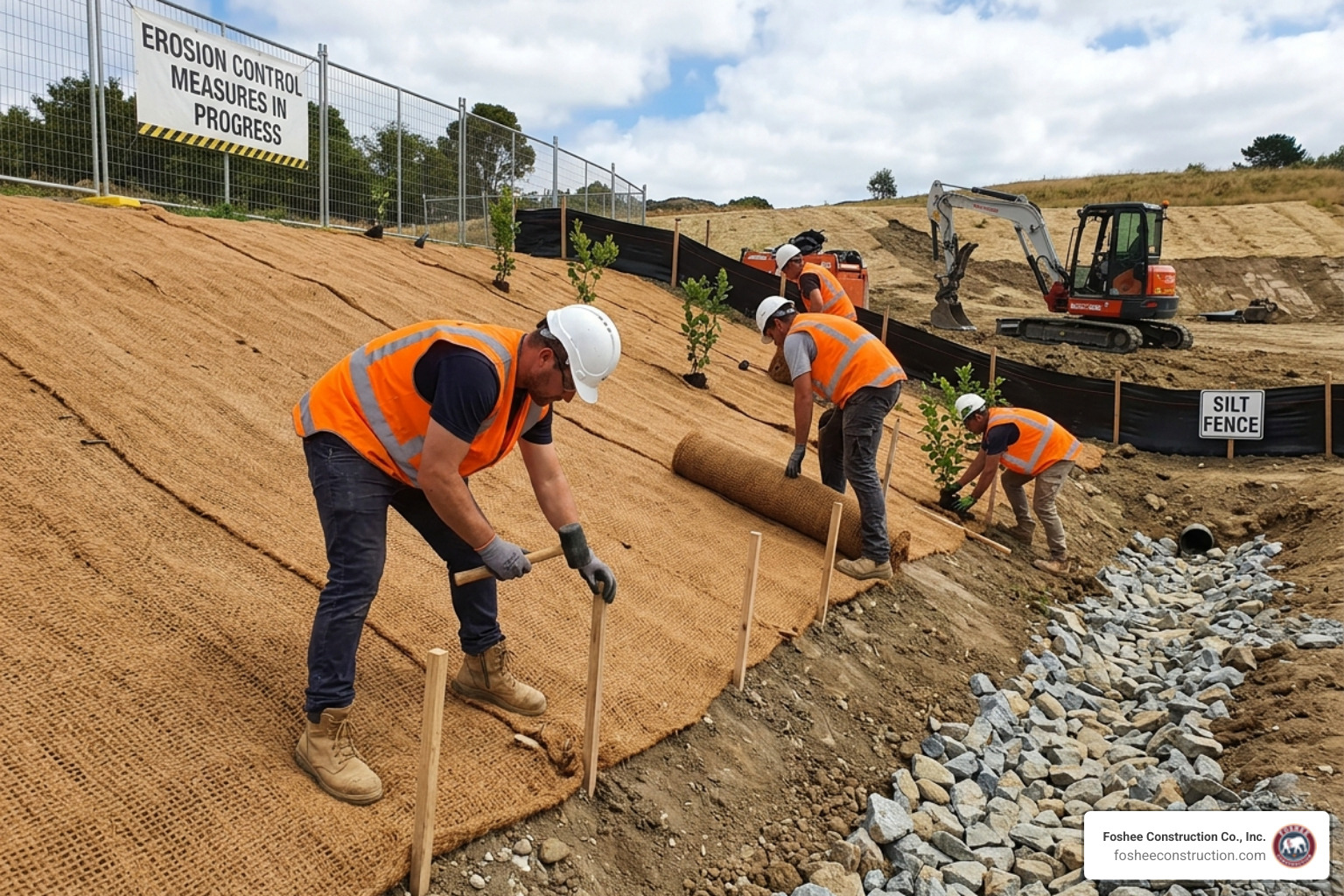
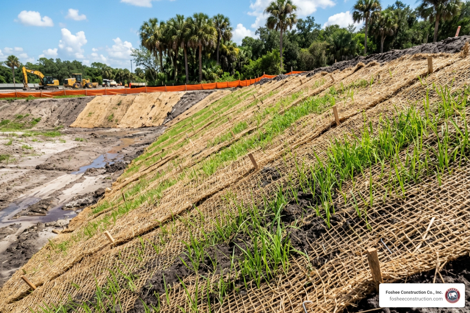
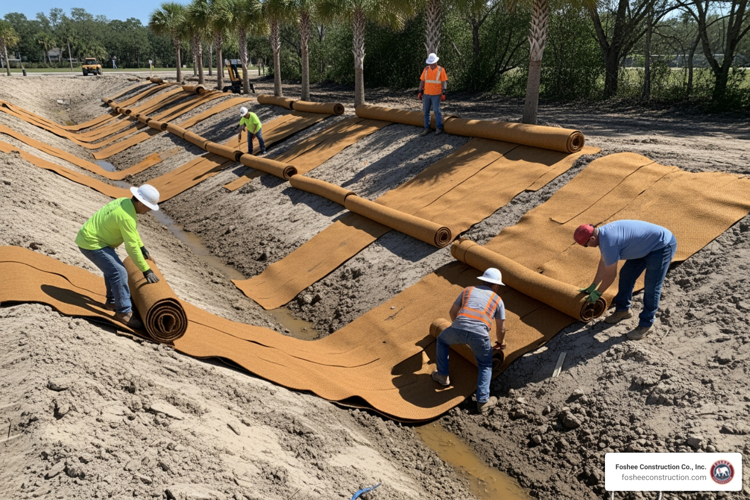
Rolled blankets require physical anchoring and continuous edge overlap to prevent stormwater from getting beneath the matrix and carving rills into fresh grade.
Executing a proper erosion control matting installation depends on accounting for every square foot buried in trenches or overlapped at the seams.
To translate square yardage into purchase orders, you must evaluate the net coverage of a single roll after subtracting seam margins.
The effective area per roll ($A_{\text{eff}}$) is determined by:
$$A_{\text{eff}} = (W_{\text{roll}} - \text{Overlap}{\text{side}}) \times (L{\text{roll}} - \text{Overlap}_{\text{end}})$$
Once you calculate the total adjusted area ($A_{\text{adj}}$) including trenches and waste, determine the total roll count ($N_{\text{rolls}}$) with:
$$N_{\text{rolls}} = \left\lceil \frac{A_{\text{adj}}}{A_{\text{eff}}} \right\rceil$$
Always round fractional values up to the nearest whole integer, as suppliers ship only whole units.
Following standardized Erosion Control Sizing Calculator guidance, the table below illustrates how slope ratios govern staple densities, overlaps, and scrap allowances:
| Slope Gradient (H:V) | Grade Percentage (%) | Required Side / End Overlap | Typical Waste Allowance | Recommended Pin Density (Pins/SY) |
|---|---|---|---|---|
| $\le 4:1$ (Mild) | $\le 25\%$ | 4 in / 6 in | 3% – 5% | 8 – 10 |
| $3:1$ (Moderate) | $33.3\%$ | 4 in / 12 in | 5% – 8% | 10 – 12 |
| $2:1$ (Steep) | $50\%$ | 6 in / 12 in | 8% – 12% | 12 – 14 |
| $\ge 1:1$ (Severe) | $\ge 100\%$ | 6 in / 18 in | 12% – 20% | 14 – 16+ |
To build a reliable project estimate, gather these field inputs:
Reviewing our detailed erosion control blanket installation guide will help you pair the right roll matrix with your site's physical conditions.
Securing rolled erosion control products requires steel wire staples (typically 11-gauge, 6-inch by 1-inch crowns) or biodegradable composite pins. The steeper the slope, the higher the pinning density required to resist gravity and hydraulic uplift.
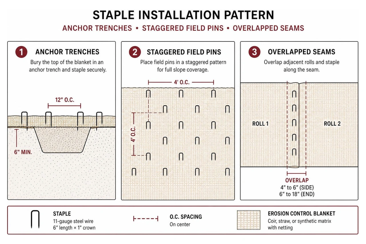
Total pin count ($N_{\text{pins}}$) is calculated using the total adjusted square yardage ($SY_{\text{adj}}$) multiplied by the specified density factor ($D_{\text{pins}}$):
$$N_{\text{pins}} = SY_{\text{adj}} \times D_{\text{pins}}$$
In Florida's loose, sandy soils, standard 6-inch staples can pull out under heavy storm loads. Upsizing to 8-inch or 12-inch fasteners maintains intimate contact between the seedbed and blanket.
Calculating material for uniform hillside faces is straightforward. However, drainage ditches, retention swales, and seeded seedbeds introduce curved layouts and concentrated runoff that require adjustments to your material formulas.
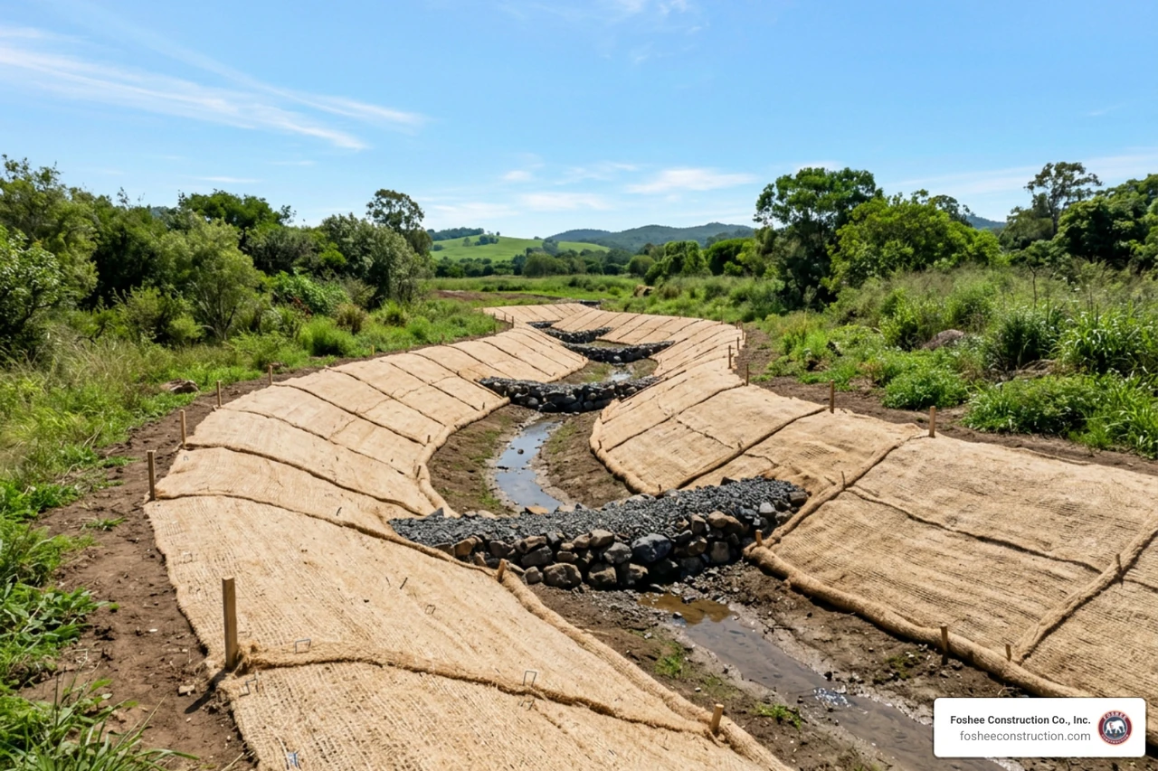
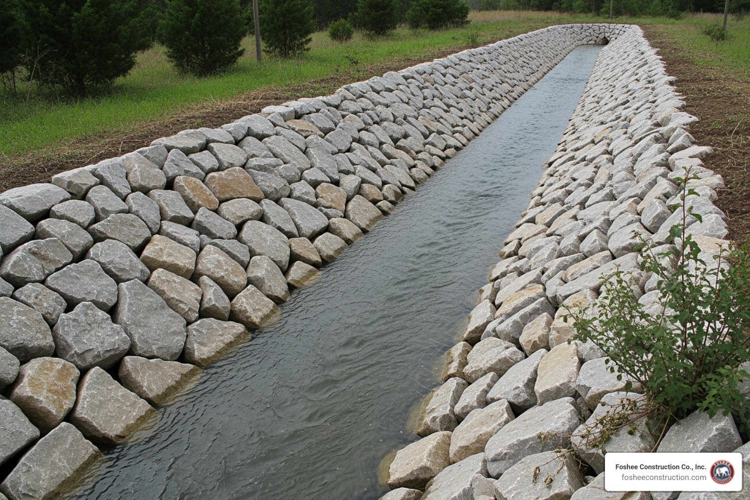
Swales subject blankets to concentrated, high-velocity water flow. Unlike hillsides, where blankets unroll vertically from crest to toe, channel installations run parallel to the direction of water flow.
When sizing blankets for concentrated flow paths:
Following a comprehensive erosion control plan ultimate guide ensures swale linings stay securely anchored during major storm events.
Erosion control blankets are temporary armor; permanent root systems provide the long-term stabilization. Seeding must be completed immediately before blanket rollout to protect the seedbed from direct sun and wind displacement.
Erosion control seeding requires higher application rates than standard turf establishment:
Fast-germinating nurse crops (such as annual or perennial ryegrass) show green shoots within 5 to 10 days, anchoring surface fines while permanent perennial species (like deep-rooting Bahiagrass or Bermudagrass) develop root networks over 30 to 90 days.
Selecting the right plant varieties using our erosion control plants ultimate guide establishes durable vegetative cover before temporary organic blankets naturally degrade.
Add 15% to 25% on top of the raw 3D slope surface area for standard rectangular jobs. This covers top and toe anchor trenches ($1\text{ ft} \times 1\text{ ft}$), 4- to 6-inch longitudinal overlaps (3%), and normal job-site cutting scrap (3% to 5%). For irregular slopes with cutouts, utilities, or curved swales, increase total contingency allowances to 20% to 30%.
Loose compost blankets rely on material interlock and gravity to stay in place. On grades steeper than $3:1$ ($33.3\%$), the downward gravitational force exceeds the internal shear friction between the compost and subgrade soil.
Furthermore, loose organic mulch is buoyant; saturated runoff can lift and float unanchored material downhill. Slopes steeper than $3:1$ require mechanically pinned rolled erosion control blankets or turf reinforcement mats to hold the seedbed securely.
Divide total square footage by 9:
$$\text{Square Yards (SY)} = \frac{\text{Total Square Feet (sq ft)}}{9}$$
Always round your final roll calculation up to the next full roll. For example, if your adjusted project takeoff requires 7,450 square feet ($827.8\text{ SY}$) and you are buying standard 8 ft $\times$ 112.5 ft rolls ($100\text{ SY}$ gross area), order 9 full rolls rather than attempting to split packaging.
Under-estimating erosion control materials leads to project delays, failed site inspections, and eroded slopes. Calculating true 3D surface geometry, sizing anchor trenches, and ordering correct pin counts ensures your site stays stable and compliant through heavy weather.
At Foshee Construction Co., Inc., we provide dependable site development, grading, and comprehensive civil installations across Lake County and Central Florida. Whether calculating materials for large retention basins or commercial mass grading, we focus on practical planning and transparent execution.
Contact us to review your site plans, ensure stormwater compliance, and order the right erosion control blanket materials before breaking ground.
We build bids using HeavyBid and AGTEK because the details matter long before the job starts. When the numbers are accurate and the scope is clearly defined, it sets the tone for how the entire project runs. Estimating isn’t just a step in the process, it’s the foundation we build on.
That same mindset carries into the field. Our crew is trained to work with purpose, follow the Civil Engineers’ Plan to the finest detail, and hold the line on quality. When expectations are clear from day one, there’s no need for shortcuts, and no confusion about how the work gets done.
Clients trust our bid packages because they’re complete and ready to use. Project managers know what we’re covering, what’s excluded, and how we plan to approach the job. That clarity removes friction and lets teams focus on execution instead of interpretation.
As part of our review process, we go into the plans before anything hits the site. We ask the questions early, resolve issues before they show up in the field, and keep RFIs moving. This approach prevents delays and protects the timeline.
Over time, that consistency builds trust. Many of the people we work with today came through referrals from past projects – engineers, GCs, and superintendents who’ve seen how we operate and want the same experience again.
In 2024, Foshee Construction was acquired by Saga Infrastructure Solutions, a national network of civil construction companies. Saga supports regional contractors by giving them access to better tools, long-term resources, and operational backing, without changing how they run day to day.
Foshee will continue to operate under its name, with the same team and field leadership in place.
“From the very time a project starts, we start that partnership. We try to catch as much as we can with the tools that we have. Not everybody is using the software platforms we are. That’s the differentiator: we’re not just bidding. We’re anticipating, problem-solving, and making sure the job runs right.”
— Don, CEO, Saga Infrastructure Solutions
Foshee is now part of a broader regional strategy that includes Florida, the Piedmont Atlantic, Texas, Colorado, and the Arizona Sun Corridor. The name, crews, and standards remain. What’s improving is the support behind it.