
Ground penetrating radar for underground utilities is a non-destructive technology that sends electromagnetic pulses into the ground and reads the reflections to detect and map buried pipes, cables, and other subsurface features — both metallic and non-metallic — without digging.
Here's what GPR does for underground utility work at a glance:
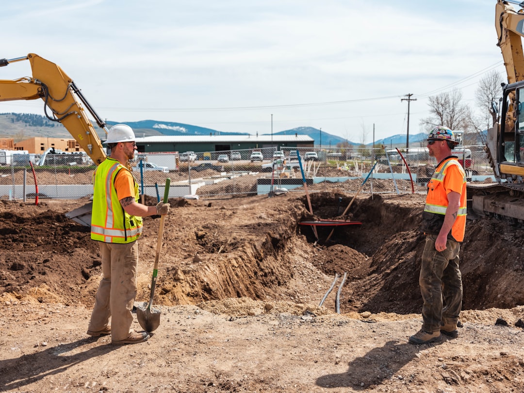
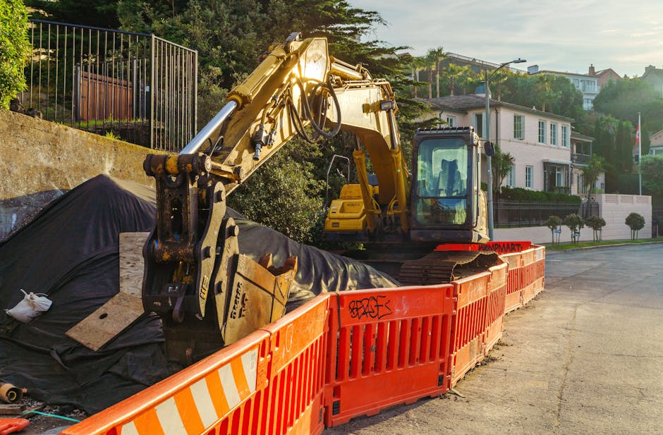
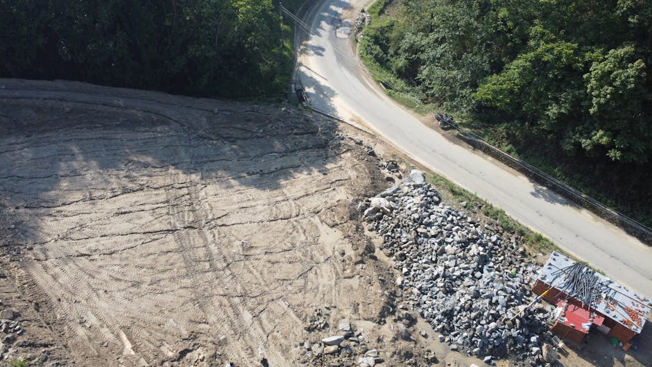
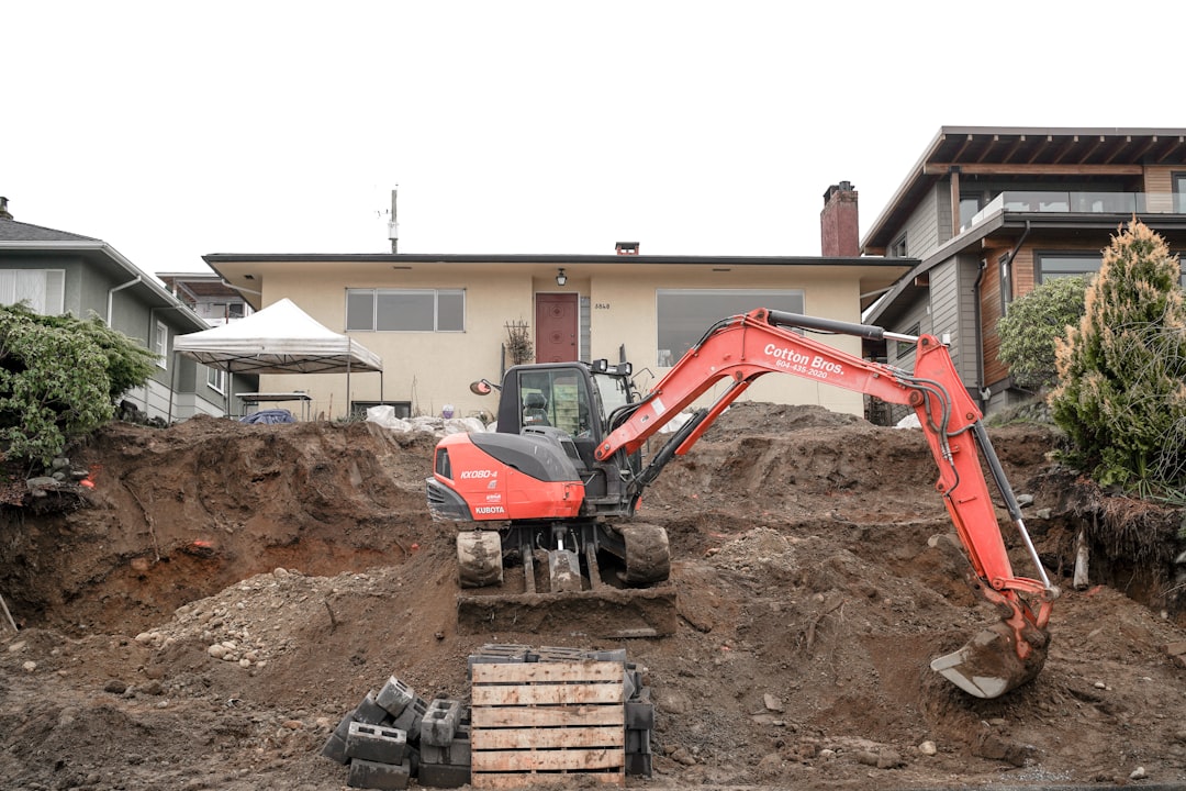
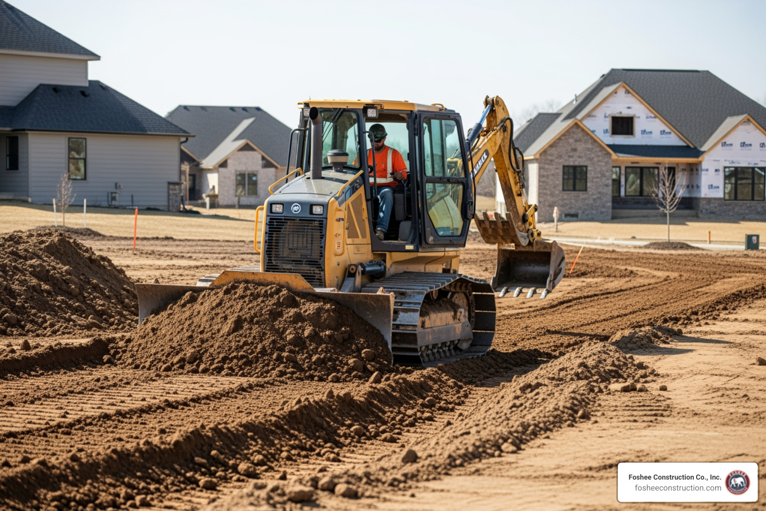
Every time a crew digs blind on a job site, they're rolling the dice. A mismarked gas line, an unmarked plastic water main, a forgotten conduit — any one of these can stop a project cold, spike costs, and put workers in danger.
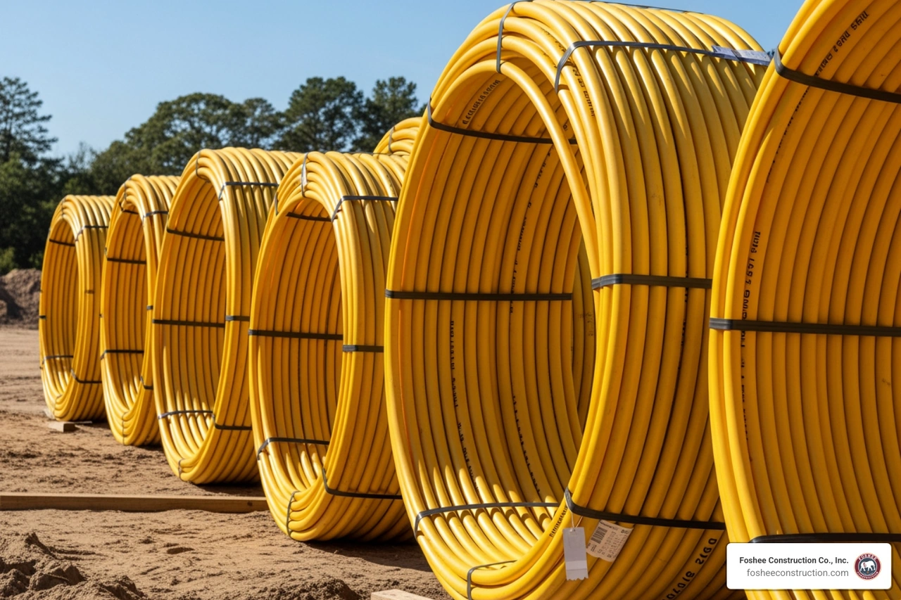
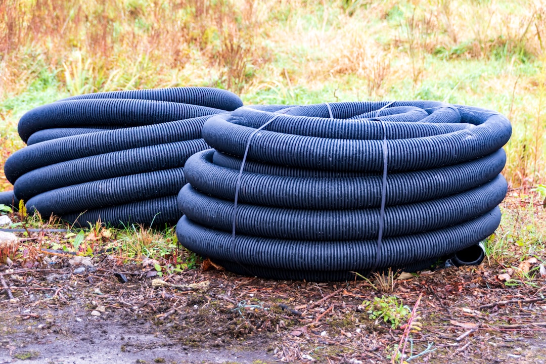
The problem is that traditional electromagnetic (EM) locating methods only work on metallic utilities. A significant portion of the pipes and conduits buried beneath Florida job sites are plastic, ceramic, or concrete — completely invisible to standard locating equipment.
That's exactly where GPR fills the gap.
GPR uses radar pulses in the microwave frequency range to "see" into the ground by detecting differences in material properties between buried objects and surrounding soil. It doesn't care whether a pipe is metal or plastic — if there's a contrast in the subsurface, GPR can find it.
For Florida general contractors and developers, this matters a lot. Unexpected utility strikes cause delays, change orders, rework, and serious safety incidents — all of which eat directly into project margins. Having an accurate picture of what's underground before breaking ground is one of the most effective ways to keep a project on schedule and on budget.
This guide walks you through everything you need to know about how GPR works, what it can and can't detect, and how it's used to protect your project from costly subsurface surprises.

At its core, Ground Penetrating Radar (GPR) is a geophysical nondestructive evaluation (NDE) technique. It sounds fancy, but the physics is actually quite straightforward. A GPR system consists of three primary components: a transmitter antenna, a receiver antenna, and a control unit for data acquisition.
The process begins when the transmitter sends high-frequency electromagnetic pulses (usually in the UHF/VHF microwave band) into the ground. These waves travel through the subsurface until they encounter a boundary between materials with different electrical properties. This difference is known as dielectric contrast.
When the wave hits a buried object—like a PVC pipe, a concrete duct bank, or a metal conduit—a portion of the energy is reflected back to the surface. The receiver antenna catches these reflections, and the control unit measures the time it took for the signal to travel down and back.
Key factors that determine how well we "see" underground include:
Modern high-resolution GPR systems are incredibly fast, collecting hundreds of "traces" or scans every second, allowing us to build a continuous image of the world beneath our feet as we walk.
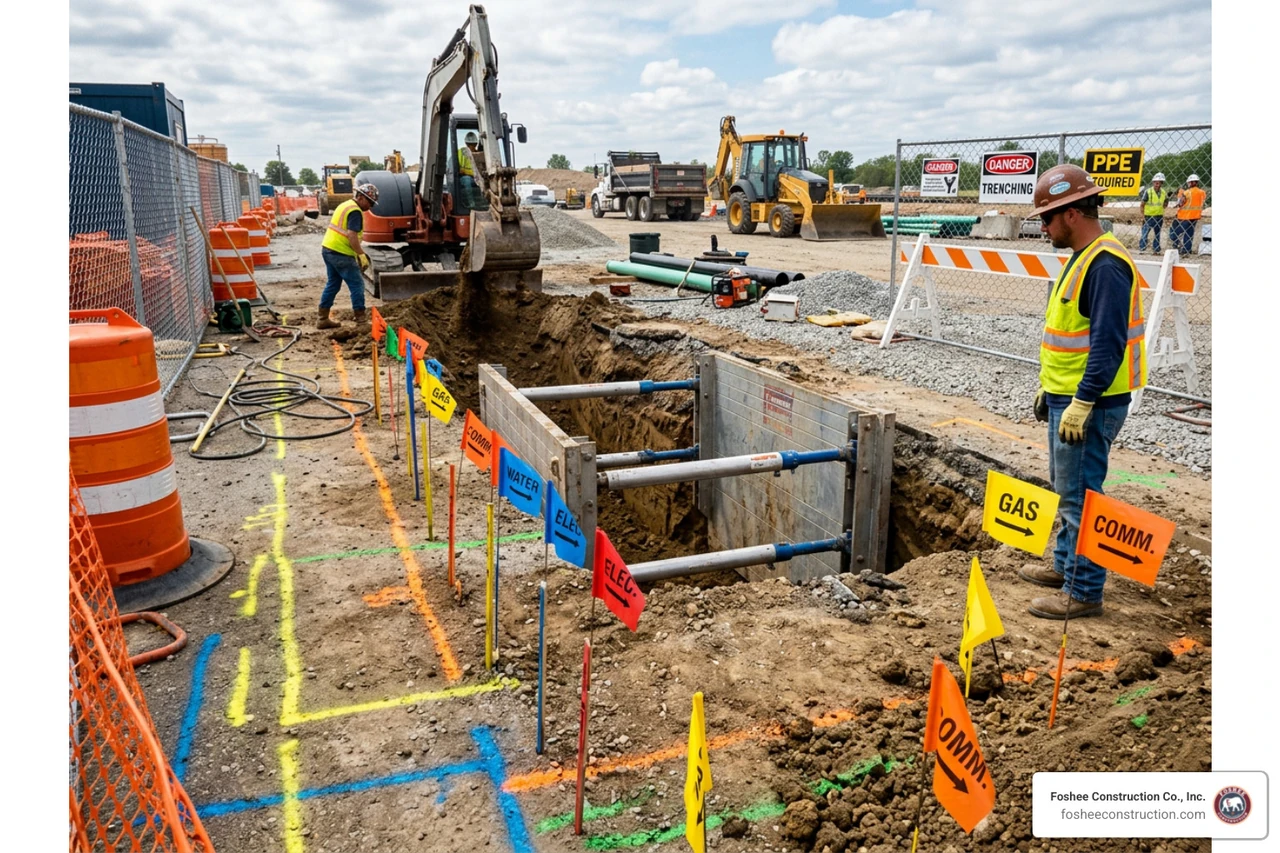
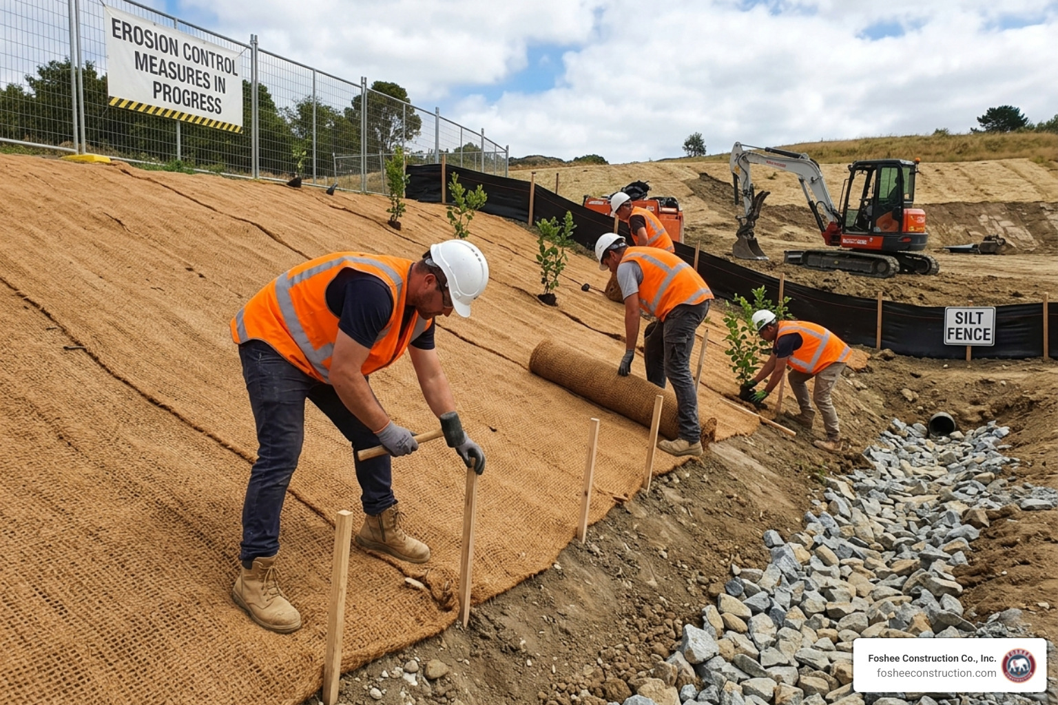
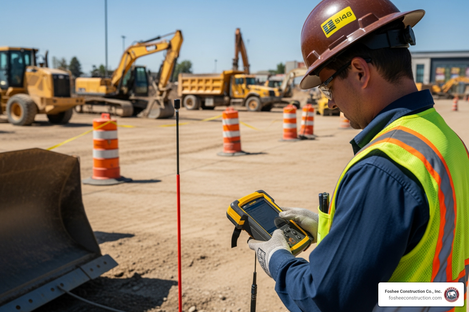
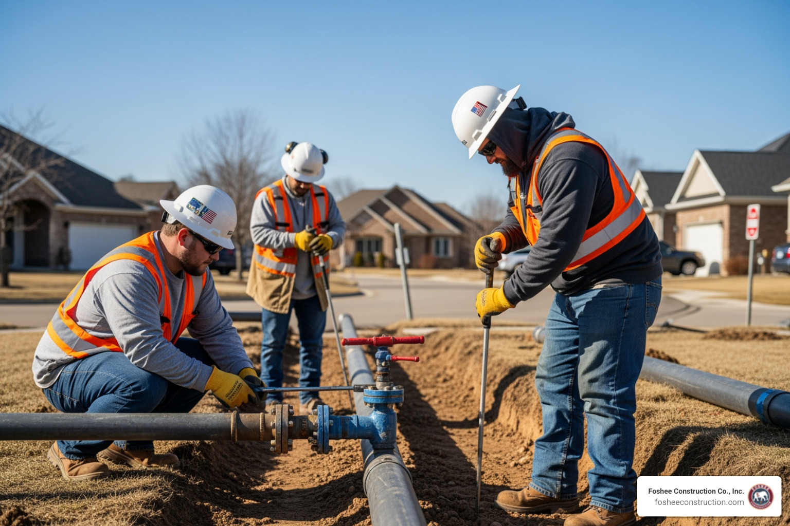
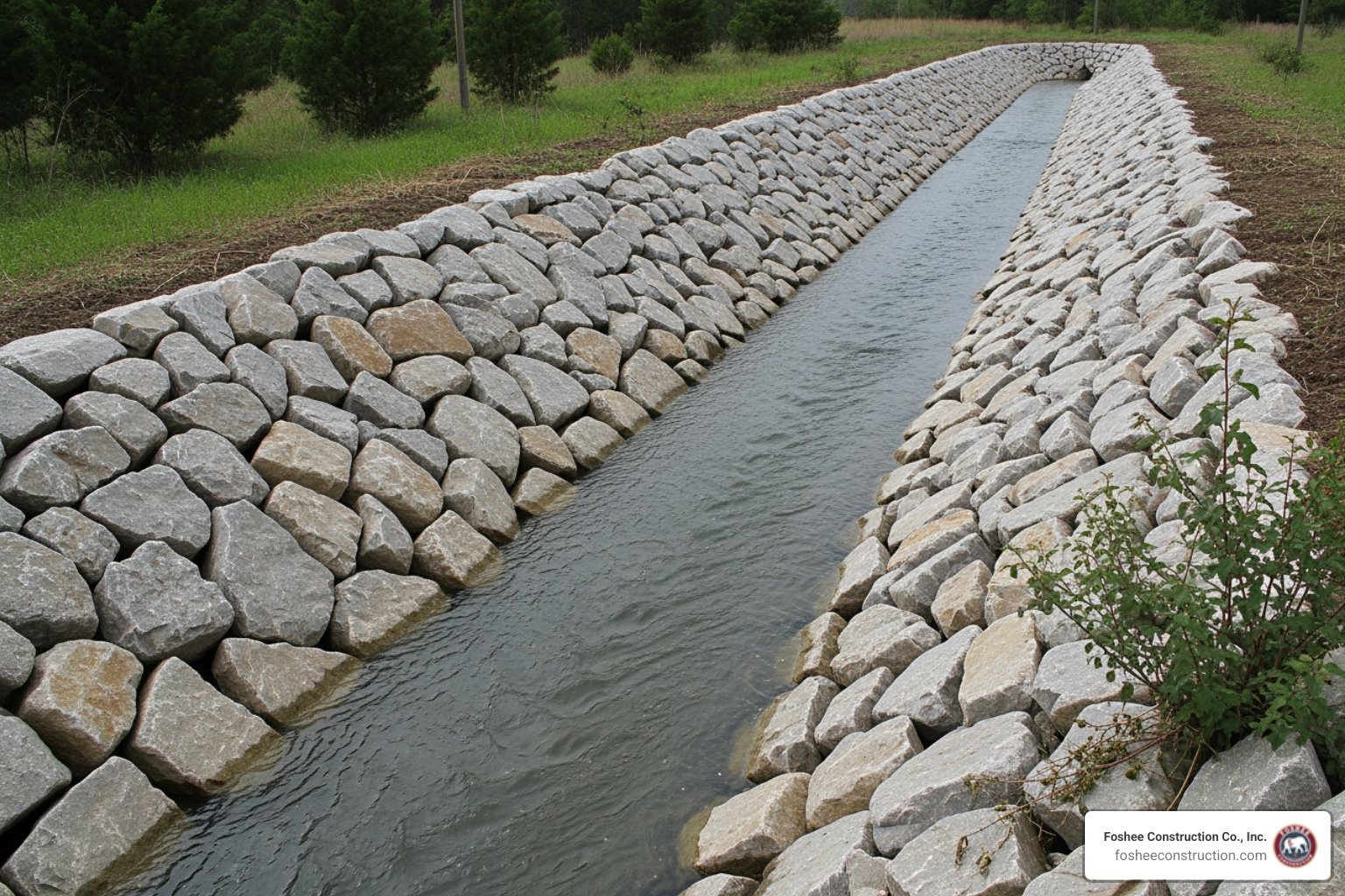
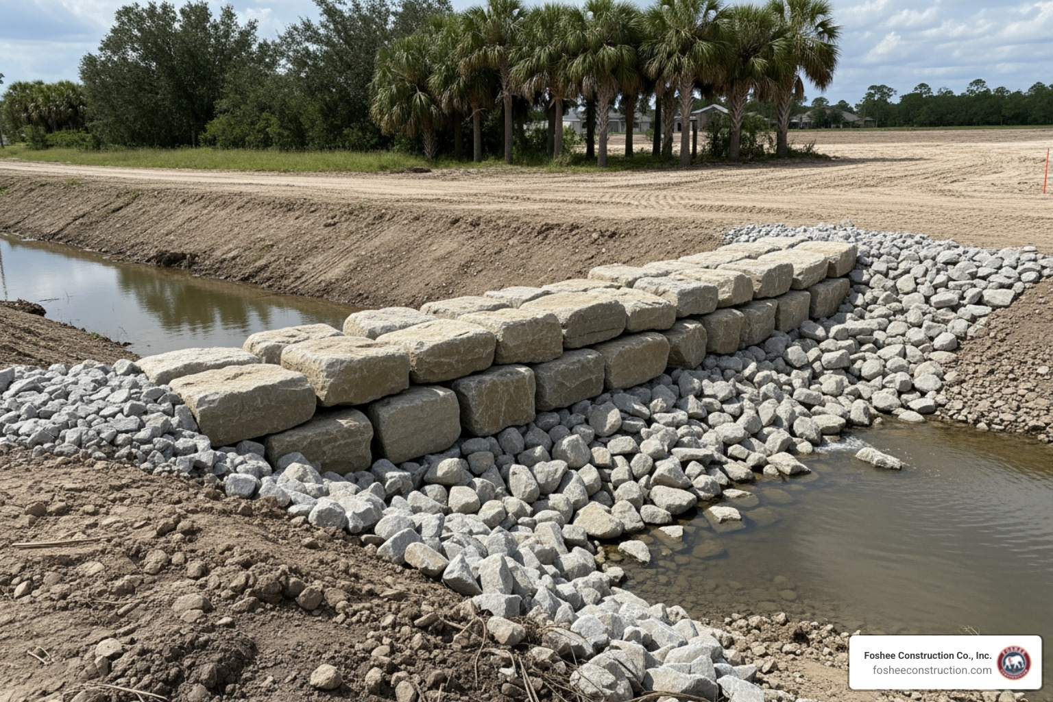
In Florida site preparation, "measure twice, cut once" applies just as much to the dirt as it does to the lumber. Using ground penetrating radar for underground utilities has become a standard part of Subsurface Utility Engineering (SUE) because it provides a level of project safety that traditional methods simply can't match.

When we talk about 99.8% accuracy in utility locating, we are talking about a massive reduction in utility strikes. Every strike avoided is a win for the budget. Without GPR, a project might face constant "surprises" that lead to change orders and schedule slips. By integrating GPR into the early stages of site prep, we perform essential risk mitigation.
We use this data to create comprehensive maps that show exactly where the "danger zones" are. This allows our grading and excavation crews to work with confidence, knowing they aren't about to hit a high-voltage line or a critical water main.
One of the biggest headaches for any contractor is the "unlocatable" utility. Traditional locators need a metal path to carry a signal. If you have a PVC pipe, a fiber optic cable (without a tracer wire), or an asbestos cement water line, a standard EM locator is essentially a paperweight.
Ground penetrating radar for underground utilities solves this problem. Because it relies on material contrast rather than electrical conductivity, it can easily spot:
GPR isn't just for pipes. It’s a versatile tool for finding anything that shouldn't be there—or things we need to make sure are there. In our Florida terrain, identifying underground voids is critical. A void under a slab or roadway can lead to catastrophic failure once heavy equipment starts moving.
Beyond utilities, we use GPR to locate:
This "x-ray vision" ensures that when we start the grading process, we aren't going to collapse into an old cistern or snag a massive concrete footing that wasn't on the original site plans.
While GPR is powerful, it isn't magic. Its performance depends heavily on the environment, particularly the soil conditions here in Lake County and across Florida.
One of the most important choices an operator makes is the antenna frequency. There is a direct trade-off between how deep you can see and how much detail you get.
The Challenges: Soil and MoistureFlorida’s geology can be tricky. Soil conductivity is the enemy of GPR. In areas with high clay content, the radar signal is "soaked up" or attenuated, meaning we can't see very deep. Similarly, high moisture content can slow down the signal and limit penetration.
Another limitation is metal shielding. Remember how GPR reflections work? Metal is a perfect reflector. This means GPR cannot see through metal. If there is a large steel plate or a very dense mesh of rebar, the radar signal hits it and bounces back, creating a "blind spot" underneath.
Despite these factors, GPR remains one of the most versatile utility locators available because it provides real-time marking and immediate feedback on the job site.
Collecting the data is only half the battle; making sense of it is where the expertise comes in. When we push a GPR cart across a site, the screen displays a B-scan—a 2D cross-section of the ground.
To get an accurate depth, we perform dielectric constant calibration. We often do this through hyperbolic fitting, where we overlay a digital curve on the screen's reflection to "math out" the soil's speed. We also use gain adjustments to amplify weak signals from deeper targets and background subtraction to filter out the "noise" of the soil layers so the utilities pop out.
Modern systems have moved far beyond simple 2D lines. We now use 3D time-slicing to look at the ground in horizontal layers, almost like an MRI. This is incredibly helpful for complex sites with "spaghetti" utilities—pipes crossing over and under each other.
With MapView technology and GPS geo-referencing, we can track exactly where the GPR has been. This data can be exported as KMZ files for Google Earth visualization or integrated directly into GIS (Geographic Information Systems).
This means a developer doesn't just get a line of pink paint on the grass; they get a digital twin of their underground assets that can be used for the entire life of the project.
It depends on the antenna and the soil. Using a low-frequency 100 MHz antenna, it is possible to reach a 100-foot depth in ideal conditions (like dry sand). However, for most utility work using high-frequency 400 MHz antennas, we typically see accurately down to a 12-foot depth. In wet, heavy Florida clay, that depth might be significantly less.
GPR is excellent at seeing through reinforced concrete to find the rebar and conduits inside. However, it cannot see through metal. Because metal is highly conductive, it causes total signal attenuation and acts as an electromagnetic barrier. If you are looking for a pipe directly underneath a large steel vault, GPR won't be able to "see" it.
Think of it as active vs. passive locating. EM locating requires a metallic conductor to carry an electromagnetic field. It’s great for wires and metal pipes. GPR uses signal reflection physics; it sends out its own energy and listens for the echo. This allows GPR to find non-metallic detection targets like plastic, wood, and concrete that EM locators simply cannot detect.
At the end of the day, ground penetrating radar for underground utilities is about one thing: certainty. In the construction industry, surprises are expensive. Whether it's a hidden void that could swallow a bulldozer or a plastic water line that isn't on the blueprints, what you don't know can hurt your bottom line.
In Florida, our unique soil conditions—from the sandy ridges of Lake County to the wetter lowlands—require a disciplined approach to subsurface mapping. We believe that a safety-focused, data-driven start is the only way to ensure project efficiency. By combining GPR technology with expert interpretation, we help our partners build with confidence.
If you are planning a project in Minneola or the surrounding Florida areas, don't leave your underground assets to chance. More info about underground utility services can help you ensure your site is ready for safe, successful development. Let's get to work—with our eyes wide open.
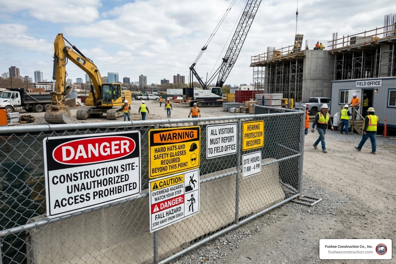
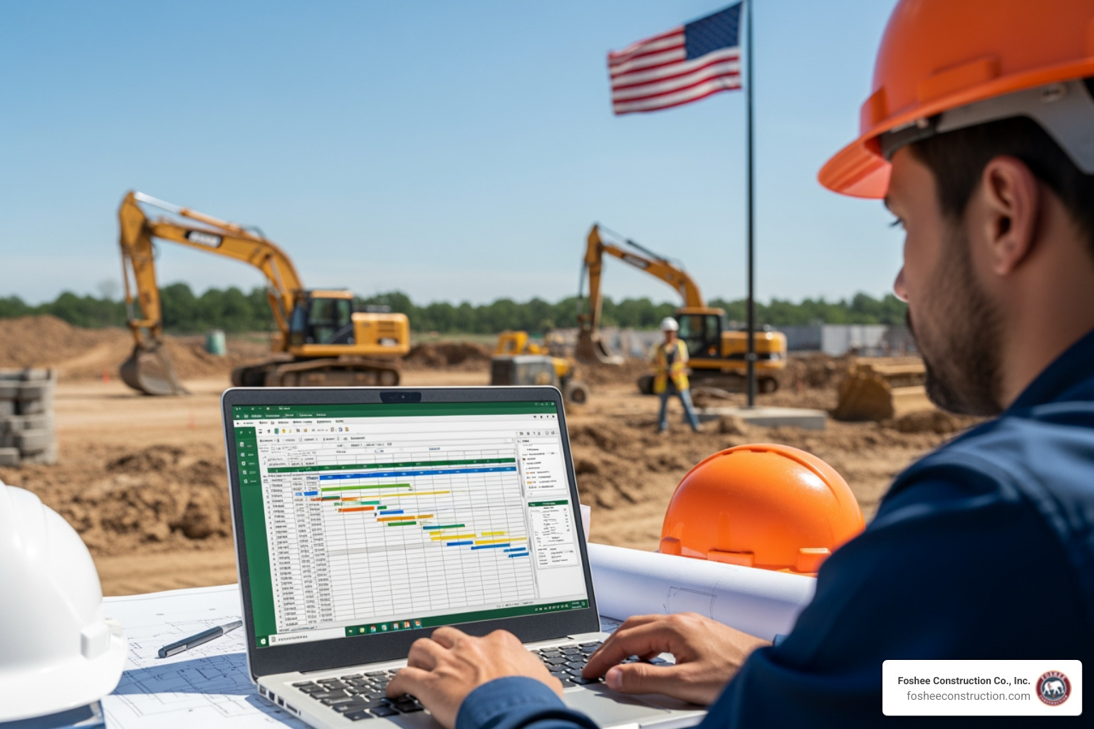
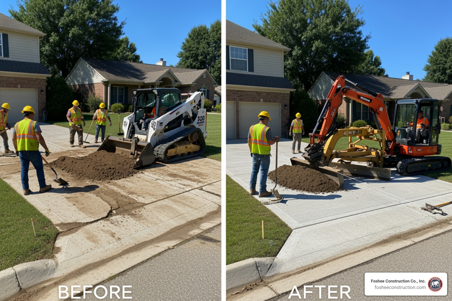
We build bids using HeavyBid and AGTEK because the details matter long before the job starts. When the numbers are accurate and the scope is clearly defined, it sets the tone for how the entire project runs. Estimating isn’t just a step in the process, it’s the foundation we build on.
That same mindset carries into the field. Our crew is trained to work with purpose, follow the Civil Engineers’ Plan to the finest detail, and hold the line on quality. When expectations are clear from day one, there’s no need for shortcuts, and no confusion about how the work gets done.
Clients trust our bid packages because they’re complete and ready to use. Project managers know what we’re covering, what’s excluded, and how we plan to approach the job. That clarity removes friction and lets teams focus on execution instead of interpretation.
As part of our review process, we go into the plans before anything hits the site. We ask the questions early, resolve issues before they show up in the field, and keep RFIs moving. This approach prevents delays and protects the timeline.
Over time, that consistency builds trust. Many of the people we work with today came through referrals from past projects – engineers, GCs, and superintendents who’ve seen how we operate and want the same experience again.
In 2024, Foshee Construction was acquired by Saga Infrastructure Solutions, a national network of civil construction companies. Saga supports regional contractors by giving them access to better tools, long-term resources, and operational backing, without changing how they run day to day.
Foshee will continue to operate under its name, with the same team and field leadership in place.
“From the very time a project starts, we start that partnership. We try to catch as much as we can with the tools that we have. Not everybody is using the software platforms we are. That’s the differentiator: we’re not just bidding. We’re anticipating, problem-solving, and making sure the job runs right.”
— Don, CEO, Saga Infrastructure Solutions
Foshee is now part of a broader regional strategy that includes Florida, the Piedmont Atlantic, Texas, Colorado, and the Arizona Sun Corridor. The name, crews, and standards remain. What’s improving is the support behind it.